Drone Surveys
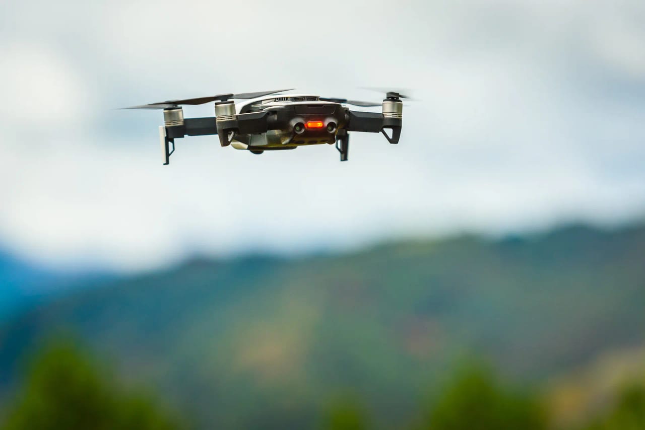
Get a wider view of transport activity and site conditions from above.
Drone surveys can provide aerial video and imagery for locations where a broader view helps explain how a transport site operates. Depending on the project, outputs may include movement analysis, photogrammetry or LiDAR data, subject to site requirements and permissions.
A planned aerial view of your site
We plan the survey around the area to be observed and the questions the imagery needs to answer. The site, timing and capture approach are agreed in advance so the resulting view is useful for the project and suited to the location.
Aerial footage can help show how activity develops across a wider area than a single roadside viewpoint. Where the brief calls for it, imagery can also support mapping or other spatial outputs, with the deliverables agreed to match the project scope.
What this survey can help you understand
See the whole site
Capture activity across a junction, corridor or wider area from a consistent viewpoint.
Review movement
Use recorded footage to examine flows, queues and interactions across the survey area.
Create visual records
Produce imagery or mapping outputs suited to the scope and technical needs of the project.
Plan around the location
Set the survey method and flight plan around site constraints, permissions and the information required.
Every drone project is planned around its location and purpose, with the appropriate permissions and operating requirements considered before fieldwork.